Hello SSHIP team!
I came across this map earlier this week, and it got me thinking about SSHIP. I often play as the Seljuks and Abbasids, so I find myself looking at this area a lot. SSHIP is my favourite mod by the way (thanks SSHIP team!)
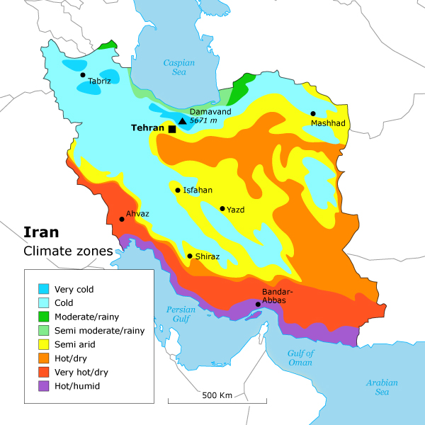
What this is telling us is that the red, yellow and brown areas are as green as Greece - 380mm of annual rainfall. In fact, the red and brown areas are considerably greener, with up to 1,500mm. The areas marked green on this map have about the same rainfall as central Anatolia. These areas are more green than dry. The purple areas represent areas where desert covers at least 25% of the land.
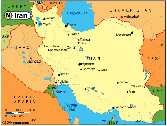
To this we can add a population map of Iran, which shows where people live in the country. It's interesting to see how closely this matches the areas of rainfall; all the major cities are either in, or close to, those yellow circles that mark 400mm of rainfall and higher. This includes Shiraz, Isfahan, Kirmanshah, Hamadan, Qazvin, and Rayy (now part of Tehran). Even Mashhad is in an area with 300mm of rainfall; a climate somewhere between Greece and central Turkey.
Finally, a quick look at Iran's rivers. Again, what this is showing us is that the rivers closely match both the areas where the rainfall is, and where most people live.
Now let's look at the kind of terrain that exists in these areas, notably the Zagros mountains and the areas mentioned above. Here are some photos of the scenery on the ground:
On the southern slopes of the Zagros:
And here is the famous Rudkhan castle, in north Iran:
Here's another photo of the Zagros:
And another:
And another:
Most players of SSHIP probably know that Iran has a long ancient history. Early agricultural communities such as Chogha Golan in 10,000 BC along with settlements such as Chogha Bonut (the earliest village in Elam) in 8000 BC, began to flourish in and around the Zagros Mountains. The south-western part of Iran was part of the Fertile Crescent where most of humanity's first major crops were grown, in villages such as Susa (where a settlement was first founded possibly as early as 4395 cal BC) and settlements such as Chogha Mish, dating back to 6800 BC; there are 7,000-year-old jars of wine excavated in the Zagros Mountains.
Historically, the Qanat, a subterranean aqueduct used for irrigation in agriculture, was one of the most significant and successful achievements of the Persian tradition. Qanats were in use millennia ago, and are still in use in contemporary Iran. In the medieval erea, a boom in the production and export of cotton made Iran the richest region of the Islamic caliphate.
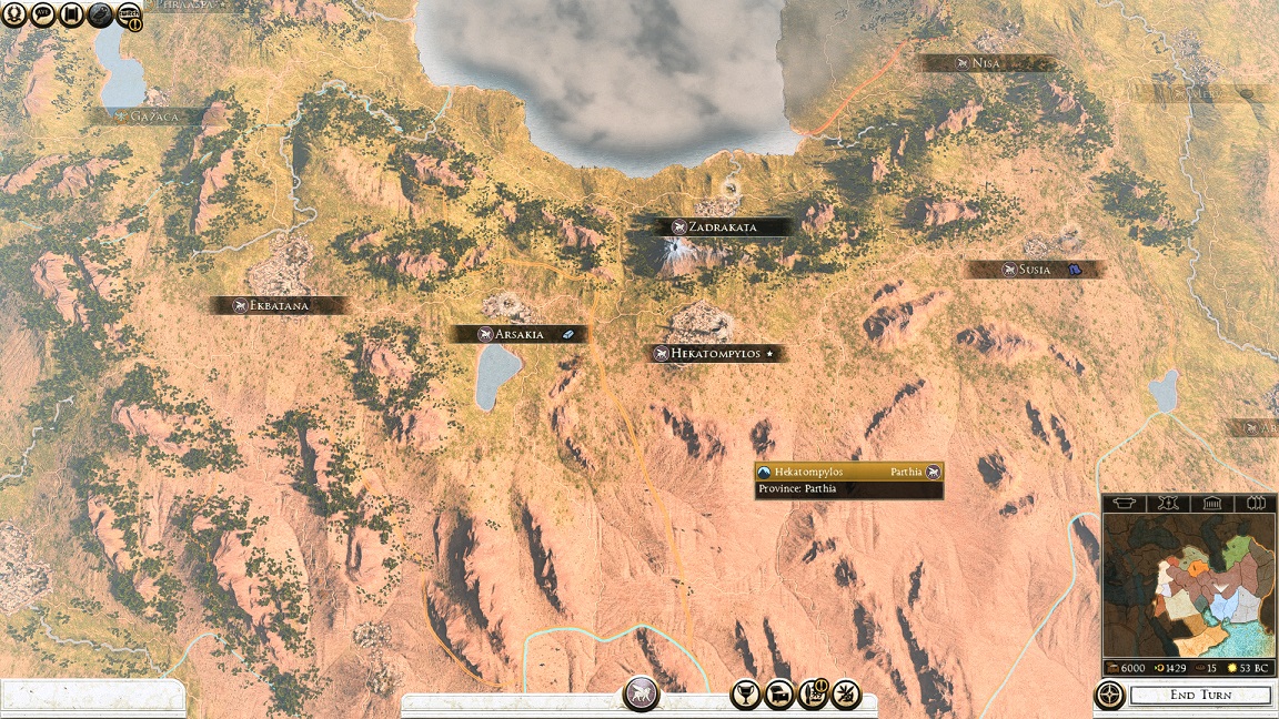
Unfortunately though, when I play SSHIP I don't feel that the game is giving me an accurate depiction of the region. The SSHIP map is too desert, and doesn't have enough greenery, forest and rivers. In addition, the city of Kermanshah is missing, and I feel that it would be a great addition to the map. Located in the middle of the Zagros, this city lies to the north of Baghdad, and would make an ideal central point for conflicts between the Seljuk faction on the Iranian plateau, and the Abbasid faction in Mesopotamia (Iraq).
I'd be interested to know what you guys think of this, and whether you found it interesting. Thoughts?


 Reply With Quote


")
")


")


")