Page 4 of 8 FirstFirst 12345678 LastLast
Results 61 to 80 of 148

Thread: TW Map Reader v2.24 [1-Jul-2015: update]

  1. #61
    Withwnar's Avatar Script To The Waist
    Join Date
    Oct 2008
    Location
    Earth
    Posts
    6,329

    Default Re: TW Map Reader v2.3 [28-Dec-2012: new feature: resource areas]

    That's okay.

    It's a bit complicated to explain but this map viewer is also used in other tools and those tools need the reload button to be on a separate tab. So the map viewer has now inherited that layout rather than me having two map viewer development projects (one for this and one for other tools). I'm not a fan of tabs either but they save valuable space.

    It might be possible to add a second button but it will take some major rework to the underlying framework; not something that I have time to do any time soon.

  2. #62
    Withwnar's Avatar Script To The Waist
    Join Date
    Oct 2008
    Location
    Earth
    Posts
    6,329

    Default Re: TW Map Reader v2.5 [7-Jan-2013: update]

    Good news! I found a way for this to read compressed formats.

    v2.5 released. See the change log for other changes.

  3. #63
    Withwnar's Avatar Script To The Waist
    Join Date
    Oct 2008
    Location
    Earth
    Posts
    6,329

    Default Re: TW Map Reader v2.6 [11-Jan-2013: update]

    v2.6 released.

    1. Added "faction selection" map (map_FE.tga).
    2. Added "copy to file" function for saving map display to PNG file.
    3. Added "reads files" and its "create BAT" functions.
    4. Added "starting regions" as a region highlight option.
    5. Added colour selections for region highlight.


    The combination of 1) and 4) means that this tool can make much shorter work of faction selection maps:

    Attachment 260248

    They will need to be resized back to the proper size but the new copy-to-file function can help with that (as it doesn't lose transparency info).

  4. #64
    FireFreak111's Avatar Artifex
    Join Date
    Apr 2012
    Location
    Australia
    Posts
    608

    Default Re: TW Map Reader v2.6 [11-Jan-2013: update]

    Wow! This is the best version yet of this tool! You have fixed every issue I had with this program. Thank you for these updates +rep

    I have a question for you though. Would you recommend using compressed files? http://en.wikipedia.org/wiki/Run-length_encoding provides information that would make it seem like a harmless form of compression, but I am not sure

    Also, the program can use close to 1GB of RAM at times.

    Finally, the settlement dots are flashing for me.
    Last edited by FireFreak111; January 14, 2013 at 07:02 AM.

  5. #65
    Withwnar's Avatar Script To The Waist
    Join Date
    Oct 2008
    Location
    Earth
    Posts
    6,329

    Default Re: TW Map Reader v2.6 [11-Jan-2013: update]

    RLE compression is the one used by a lot of vanilla (and mod) image TGAs. And the one that this tool can now read. I suppose that the benefit is reduced mod size but beyond that I don't know. It is lossless compression, so no harm in using it as far as I know.

    Yes, I know it uses a lot of RAM. This is discussed in the OP.

    Yes, the settlements flash. Otherwise they are hard to see on some maps. It is in the Change Log.
    Last edited by Withwnar; January 14, 2013 at 11:01 AM.

  6. #66
    Gigantus's Avatar I am not special - I am a limited edition.
    Patrician took an arrow to the knee spy of the council

    Join Date
    Aug 2006
    Location
    Goa - India
    Posts
    53,126
    Blog Entries
    35

    Default Re: TW Map Reader v2.6 [11-Jan-2013: update]

    Small tip: use the downloads section for your stuff - that way you only have to update the file there (link in the OP will remain valid) and it will not count against your attachment quota.

    I recently moved all my tutorial stuff there.


  7. #67
    Withwnar's Avatar Script To The Waist
    Join Date
    Oct 2008
    Location
    Earth
    Posts
    6,329

    Default Re: TW Map Reader v2.6 [11-Jan-2013: update]

    I have an attachment quota!? Ah yes, "Attachments" in my control panel. Never noticed that before. Any idea what the quota limit is?

    Thanks, I might do that in the future.

  8. #68
    Withwnar's Avatar Script To The Waist
    Join Date
    Oct 2008
    Location
    Earth
    Posts
    6,329

    Default Re: TW Map Reader v2.7 [19-Jan-2013: update: faster, leaner, new features]

    v2.7 released. Some new info in the OP.

    From the Change Log:
    • Now uses far less memory. Roughly 5 times less!
    • Faster load times of maps (and therefore the application itself). Textures load twice as fast. Faster response times overall when switching zooms, changing transparencies, etc.
    • Region Highlight now optionally includes borders, with control over how borders are drawn.
    • Added "all regions" option for Region Highlight.
    • Added "FE" zoom level: all maps are scaled to map_FE.tga's original size and the FE map remains unscaled. Useful if using this to create "faction selection" maps; no need to scale the result back down to the correct size, thus avoiding loss of quality due to scaling up (by the tool) and then scaling down again (in your graphics application).
    • Added "Settlements" tab: displays settlement locations and names on the map.


    The way that maps are drawn and stored internally has been majorly overhauled. Not only is it now faster overall but the memory footprint has dropped dramatically. e.g. In v2.6 with TATW maps it was using 1,250MB when everything was turned on (all zooms, all maps, all transparencies). v2.7 uses 250MB under the same conditions - and that includes an extra zoom level.

    Region Borders: man, what an effort getting these in! The region highlight feature is much better as a result but if I had known at the start how difficult this was going to be I would probably have abandoned the idea then and there.

  9. #69
    Gigantus's Avatar I am not special - I am a limited edition.
    Patrician took an arrow to the knee spy of the council

    Join Date
    Aug 2006
    Location
    Goa - India
    Posts
    53,126
    Blog Entries
    35

    Default Re: TW Map Reader v2.7 [19-Jan-2013: update: faster, leaner, new features]

    Attachments: there is no quota at the moment, I still remember when it was 5MB - that was a nightmare. Using uploads here will avoid restrictions of upload servers, RapidShare was a pain to behold: they removed inactive uploads after 90 days, gone forever if you didn't have a back up.

    Nice work on the reader, very helpful tool.


  10. #70
    Withwnar's Avatar Script To The Waist
    Join Date
    Oct 2008
    Location
    Earth
    Posts
    6,329

    Default Re: TW Map Reader v2.7 [19-Jan-2013: update: faster, leaner, new features]

    Thanks. Good to hear there's no quota, at the moment at least. 5MB, ye gods.

    Nice work on the reader, very helpful tool.

  11. #71
    FireFreak111's Avatar Artifex
    Join Date
    Apr 2012
    Location
    Australia
    Posts
    608

    Default Re: TW Map Reader v2.7 [19-Jan-2013: update: faster, leaner, new features]

    Seriously, every time I check the thread for this tool you have fixed every issue I have noticed since the last update , this tool is a saving grace for me with the current work I am doing, thank you so much for this tool.

    My only request is the addition of a toggle button for settlement flashing, it can be annoying in certain circumstances.

  12. #72
    Withwnar's Avatar Script To The Waist
    Join Date
    Oct 2008
    Location
    Earth
    Posts
    6,329

    Default Re: TW Map Reader v2.7 [19-Jan-2013: update: faster, leaner, new features]

    You're welcome. A flash toggle shouldn't be a problem. I have found a bit of a bug with the FE map scaling, so an update was coming anyway.

  13. #73
    FireFreak111's Avatar Artifex
    Join Date
    Apr 2012
    Location
    Australia
    Posts
    608

    Default Re: TW Map Reader v2.7 [19-Jan-2013: update: faster, leaner, new features]

    Theres another issue I've noticed with the last few versions. If you have made an error with any of the files the program loads on startup (those you had ticked last) the program will freeze instead of giving you the error message and helping you debug.

  14. #74
    Withwnar's Avatar Script To The Waist
    Join Date
    Oct 2008
    Location
    Earth
    Posts
    6,329

    Default Re: TW Map Reader v2.7 [19-Jan-2013: update: faster, leaner, new features]

    Can you give me an example of such an error? I tried a few things but I'm not getting the freeze.

  15. #75
    FireFreak111's Avatar Artifex
    Join Date
    Apr 2012
    Location
    Australia
    Posts
    608

    Default Re: TW Map Reader v2.7 [19-Jan-2013: update: faster, leaner, new features]

    I figured it out, I am using transparent overlays with many files to compare to different maps, and sometimes I accidentally export with two layers, one being transparent, creating a random mixture of colors the Reader cannot understand. The program simply freezes when this happens, so I have to end the process and restart it.

    Can you also lessen the compression used on the PNG's? It can degrade quality alot (maybe an option for High Quality, Quality or Low Quality?)

  16. #76
    Withwnar's Avatar Script To The Waist
    Join Date
    Oct 2008
    Location
    Earth
    Posts
    6,329

    Default Re: TW Map Reader v2.7 [19-Jan-2013: update: faster, leaner, new features]

    Nope, I still can't reproduce the problem. Which map do you mean?

    PNG: I wasn't aware that it wasn't using lossless compression. I'll take a look.

    EDIT: I am also not getting any loss of quality with the PNG thing, none that I can see anyway. I viewed map_ground_types in the tool, exported as PNG, pasted into Photoshop over the old ground types TGA and reloaded into the tool. No errors, so it wasn't adjusting colours. Can you give an example of which map or combination gives a bad quality result?
    Last edited by Withwnar; January 24, 2013 at 11:32 AM.

  17. #77
    FireFreak111's Avatar Artifex
    Join Date
    Apr 2012
    Location
    Australia
    Posts
    608

    Default Re: TW Map Reader v2.7 [19-Jan-2013: update: faster, leaner, new features]

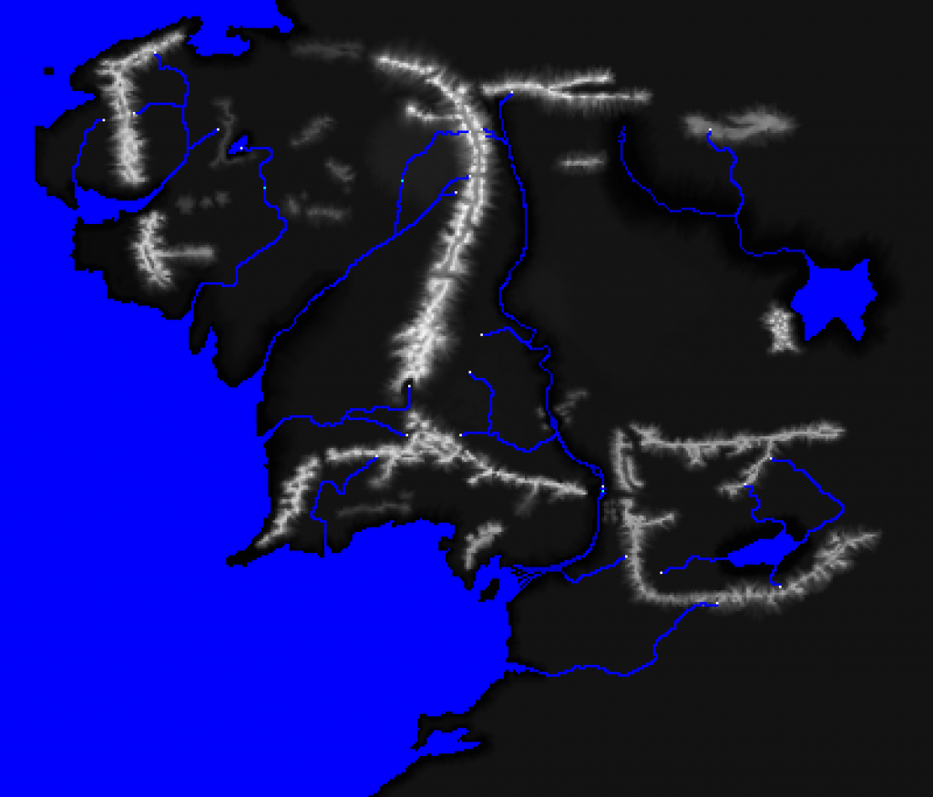
    Oh right, basically the freezing for me is a specific extreme case. I'll give you an example of the transparency I accidently save at times that causes the crash


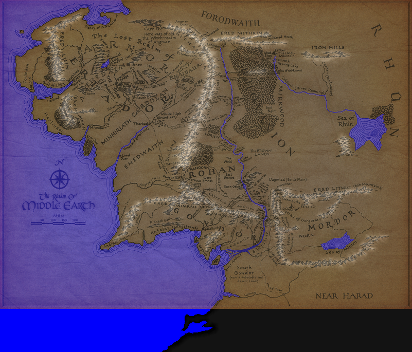
    and this was the image I thought was compressed


    but on closer looks of other maps the tool saved, it doesn't really look compressed.

  18. #78
    Withwnar's Avatar Script To The Waist
    Join Date
    Oct 2008
    Location
    Earth
    Posts
    6,329

    Default Re: TW Map Reader v2.7 [19-Jan-2013: update: faster, leaner, new features]

    I still can't break it. I tried making that image a partially transparent layer of map_heights and then reloaded. It doesn't freeze and there aren't any errors.

    PNG: were you, by any chance, comparing the heights map as displayed (and saved) by this tool against the original, saw a difference and took that to be a loss of quality? The tool discards every second pixel; it will be different to the original.

  19. #79
    FireFreak111's Avatar Artifex
    Join Date
    Apr 2012
    Location
    Australia
    Posts
    608

    Default Re: TW Map Reader v2.7 [19-Jan-2013: update: faster, leaner, new features]

    Okay, the files that break are ground_types, climates and the features if they have an overlay.

    I was comparing it to the in-tool display. I know this tool doesn't support the full size ground_types and map_heights. Though it would be greatly helpful when comparing Ground, map and climates and getting them to match up, it would break when features or regions are brought in.

  20. #80
    Withwnar's Avatar Script To The Waist
    Join Date
    Oct 2008
    Location
    Earth
    Posts
    6,329

    Default Re: TW Map Reader v2.7 [19-Jan-2013: update: faster, leaner, new features]

    Ah yes, I see it now. It isn't freezing, it is just taking an extremely long time to build the error list. I have added some code to stop reading a map after 200 errors have been found.

    I was comparing it to the in-tool display.
    So you were comparing the PNG that the tool produced against the tool's display that the PNG was created from? Can you attach an example of one that is appearing as different: a screenshot of the tool's display (BMP) and the PNG that comes from it?

    I know this tool doesn't support the full size ground_types and map_heights. Though it would be greatly helpful when comparing Ground, map and climates and getting them to match up, it would break when features or regions are brought in.
    Technically it does support the larger images, in the same way that the game does. The game ignores the even pixels; so does the tool. That's the point of the tool not showing the full image, so you can see it how the game sees it and therefore compare the maps without being distracted by all of the pixels that are irrelevant.

    I don't see the point of displaying all of those extra pixels - and making the tool do it would mean developing it from scratch - but if you really need to see them then it will need to be done via layers in your graphics application.

Page 4 of 8 FirstFirst 12345678 LastLast

Posting Permissions

  • You may not post new threads
  • You may not post replies
  • You may not post attachments
  • You may not edit your posts
  •