Hi, I was looking to start a new map and wanted to use a good set of satellite data as the source. I was used to using the 3dem data maps from a few years back but also decided to have a look and see what had progressed. Mak then stumbled across quite a nice simple tool which others may find useful and is pretty straight forward to use.
The tool is maperitive which you can down load from http://maperitive.net/. Its also free.
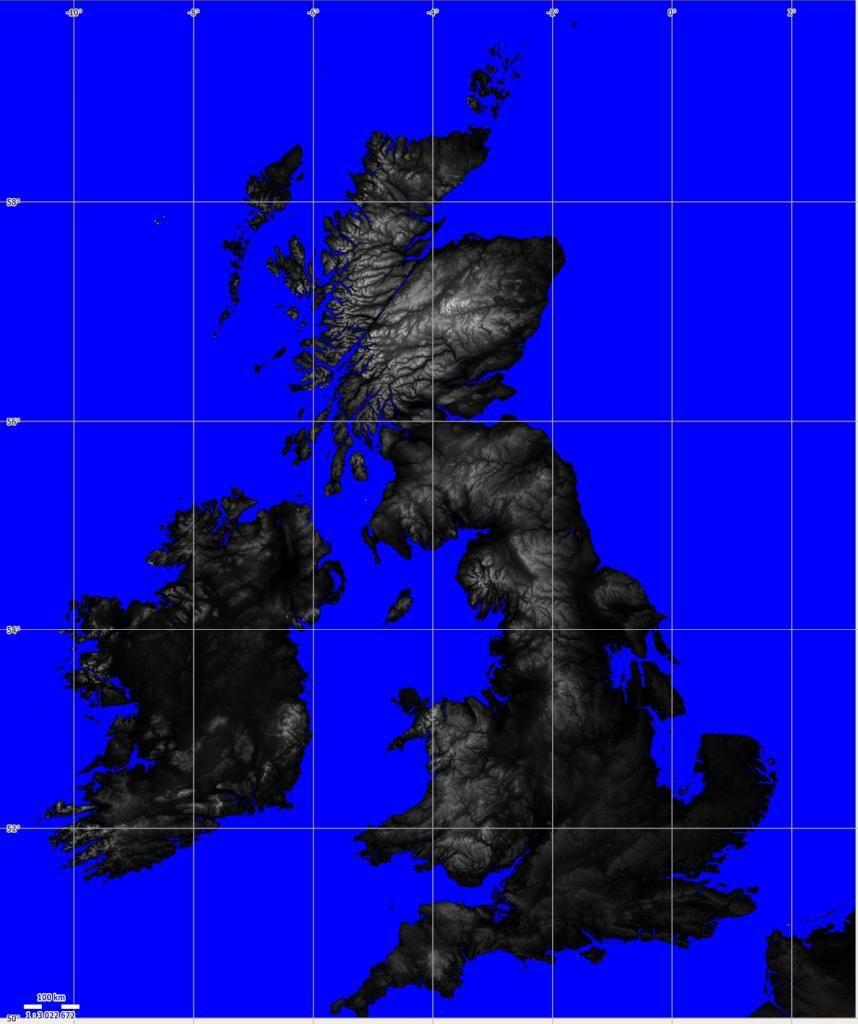
The tool allows you to select a map, scale it to whatever you want and export as a bitmap (.png) though other formats are also supported. This basically means you can create the same sort of data extracts that the 3dem data supported.
Steps are :
1) Download the tool, unzip and you just need to run the Maperitive.exe which will present you with a webmap (OSM Mapnik).
2) You zoom in and out on the map as usual by clicking and using the scroll wheel.
3) You then right click on the map and set :
a) Geometry bounds (of the area you are interested in).
b) Printing bounds..within the Geometry bounds... of the map you want to print. You can readjust these later.
4)Type in the command prompt box (at the bottom of the screen) "generate-hypsometric ramps=0:black;1500:white" without the quotes.
you can change the values here as this is setting the greyscale values eg the valkue above will set 0m as 0,0,0 (RGB) and 1500m will be 255,255,555 (RGB). Obviously depending on the area covered you may want to use higher or lower scales.
Then press return to run it.
This will generate a relief image map from SRTM3 data which is indicated in the Map sources box on the right hand side of the window.
5) In the Map sources window (on the right side) you can toggle on/off each map layer by clicking the little yellow star.
as the OSM map is on top you need to switch that off to see the greyscale map!
6) You can now zoom in or out which sets the 'size' of the maps.
7) In the tools option you can generate the bitmap using the export to BITMAP command.
When this command runs it tells you the zoom level and the bitmapsize. If too large or small then just adjust the zoom
8) the file is output to a file in the maperitive folder called output. Just copy it and rename it before doing any further exports or it will over print.
there are some other map options which may be useful for generating the radar map as they have relief settings (hill shading etc). You just need to generate these also before you come out.
The data is based on SRTM3 data so you can generate very detailed maps of small areas as most of the data is based on approx 90-100m distance points at the equator. So is much finer than the older satellite data.
Only caveat. If you are silly and try to make a very detailed very large map its pointless as the game won't support it and the memory will likely be too great for you computer.
I should add the site does include tutorials and documentation for the tool as you can do a lot more with it.


 Reply With Quote


")
")
")
")

")