I think one of the greatest things about a 3D map like the one in RTW is the magic of having mountains all over the world, but as many things in life such beauties come at a high cost in the making of the map. Many times i've seen maps that basically create a "circle" of low_mountains ground_type and fill it with high mountains. The result is usually a big block in game. I must say that way is actually easy, but at the same too simple for a map. So, what to do then? Let's begin
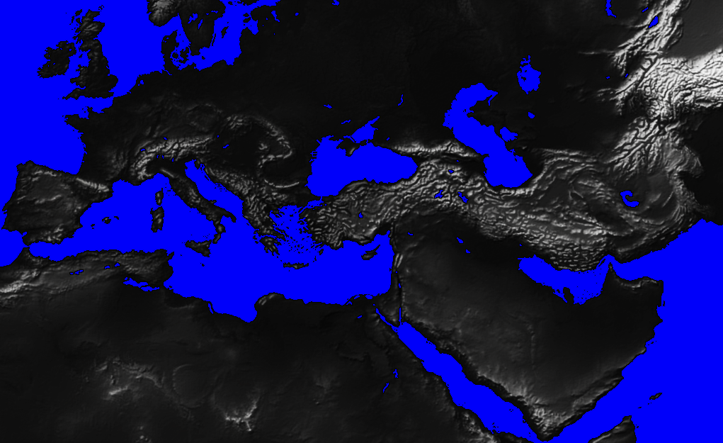
1.- First you'll need your basic map_heights.tga. Make a new document where you will be using several layers to get the results. Here's my basic heights.tga
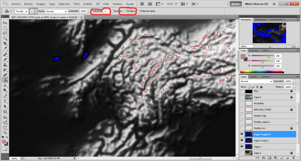
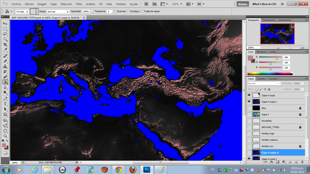
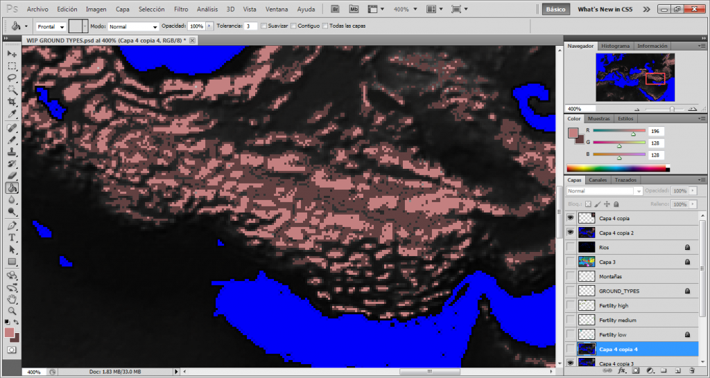
2.- Now, using the color for high_mountains (you can find the guide here) we will use the "Paint Bucket" (i don't know the exact name in english, i speak spanish and my photoshop is in spanish too) to star coloring the withest pixels in our map. I've highlighted 2 more features of photoshop that should help this job, first the "tolerance"? (tolerancia in my image), set to a value of 3. This features will allow pixel with upper and lower values of white/gray that we are giving color get the "high_mountains" ground type too (speeding up the process A LOT).
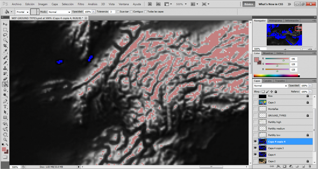
3.- We keep using the paint bucket to color all the "pikes" of our mountains, only the withest areas.
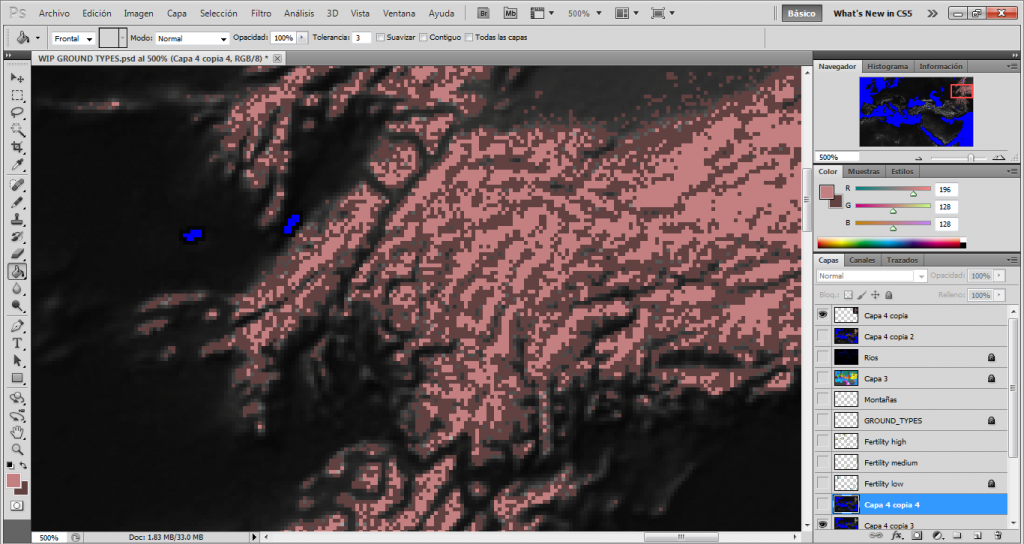
4.- Next we will need to add the low_mountains ground type too, so, using the same principle as before we keep selecting from the withest pixels to the next, so we create the lower parts of the mountains.
5.- After some insane clicking we should have some results like this
6.- Now the bad things about this method. Depending on the scale of you map you may end up with some areas that turn into impassable lands (in my map those areas would be Armenia and Iran). But fear not, all you'll have to do is use some other textures to add mountain passes in those areas, a very little tiny price for saving some hours of painful mountain creation if you ask me.


 Reply With Quote


