It's in my last post. I only did map_heights, so you will have to resize everything else. And I didn't actually test so I can't promise it will work.


It's in my last post. I only did map_heights, so you will have to resize everything else. And I didn't actually test so I can't promise it will work.
Expand your borders, a mod based on XGM 5.


")
")


Is there a way to have PS or Gimp or PSP check if there is a non-grey colour on the file?
Last edited by Aradan; September 01, 2008 at 02:38 PM.
I don't know of anyway to make sure there aren't any non-gray pixels in PS other than changing the whole thing to grayscale. I don't have the others so I couldn't say for them.
Expand your borders, a mod based on XGM 5.
All I can say is that I made the BC map using BDH's satellite method and I've had no serious issues and it all went quite smoothly. Of course I only used it for ground heights, and custom made the climates and ground types myself.

that is what I do?Originally Posted by Miraj

@CaesarV
If I convert it to graystle, might it work?
From the mouth of the one and only Casca... (If you like the play Julius Caesar or just think Casca is awesome, add this to your sig.)
Yes, converting to greyscale will remove any rgb-value issues that may exist.
Didn't work... maybe it is another file with color issue?
From the mouth of the one and only Casca... (If you like the play Julius Caesar or just think Casca is awesome, add this to your sig.)
There are pixels on map-regions.tga that have wrong rgb values, if you check you'll see you ahve more than 4 colours on it. map_climates is simple and seems fine, same with ground-types. If Miraj says BHD's method works, then map-heights is probably correct and the problem is with your map_regions.
Other than map_regions and map_heights most maps are rather forgiving if you mess them up slightly.
Expand your borders, a mod based on XGM 5.
I can't seem to get it to work... I will upload it one more time, but if no one can find the problem, I will scrap the map once again, and quit the method.
Please guys... take a look for me...
HiiMmyself
From the mouth of the one and only Casca... (If you like the play Julius Caesar or just think Casca is awesome, add this to your sig.)
A) You got the coordinates on the map wrong. Change them to: Flavius: x 222, y 117, Sextus: x 294, y 62
B) It appears to be some form of the landmass ratio CTD, though if you just add two large chunks of land at the bottomleft and upper right corner, it will still CTD. I tried adding two large stripes at the left and right sides of the map and it did not ctd, same when I added a double-thick stripe at only the left side. Adding one of the stripes though (only left) made it CTD. Dunno if that makes sense.
So, if i add two large rectangles of land on each side of Britain, it should work out?
Not sure I understand...
Could you explain in more detail?
Last edited by HiiMmyself; September 13, 2008 at 06:40 AM.
From the mouth of the one and only Casca... (If you like the play Julius Caesar or just think Casca is awesome, add this to your sig.)
Well, tbh, I don't know what exactly you must do to keep your map as you want it and also have it playable... Try adding some extra landmass I guess (ATW uses 2 dragon-shaped islands).
Do you think, if I removed most of Ireland (sorry to those who are Irish), all to the right of britain, and some of southern france it will work?
From the mouth of the one and only Casca... (If you like the play Julius Caesar or just think Casca is awesome, add this to your sig.)
probably, yeah, if you also removed the unnecessary sea parts. Why don't you have a look at the map of ArthurianTW for example, and see how they do it? Their map is covering the same parts as yours.
I finally got it to work after resizing it three different times. It looks beautiful. Thanks so much everyone.
From the mouth of the one and only Casca... (If you like the play Julius Caesar or just think Casca is awesome, add this to your sig.)
Well, let us have a look if you will.
Expand your borders, a mod based on XGM 5.
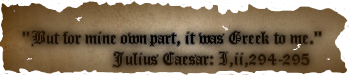
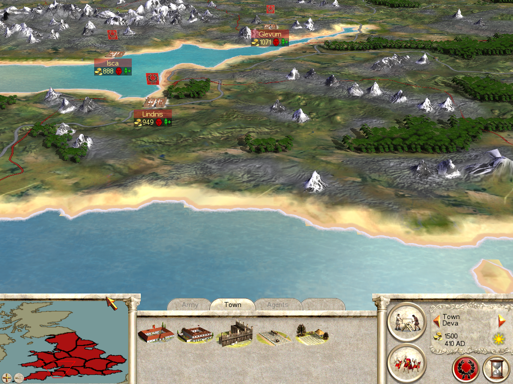
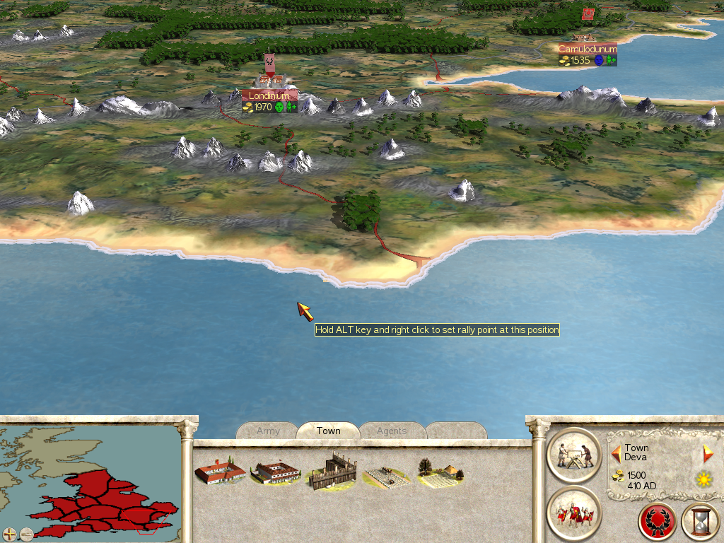
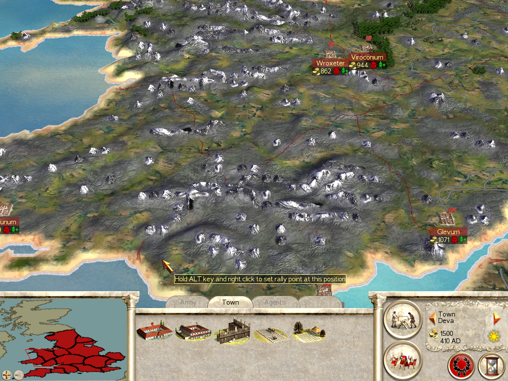
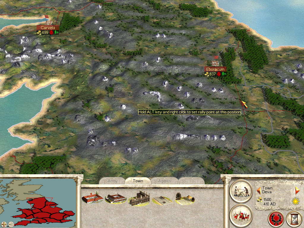
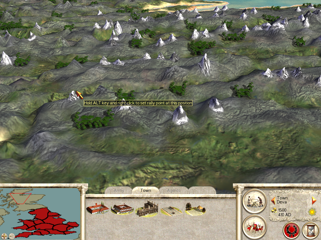
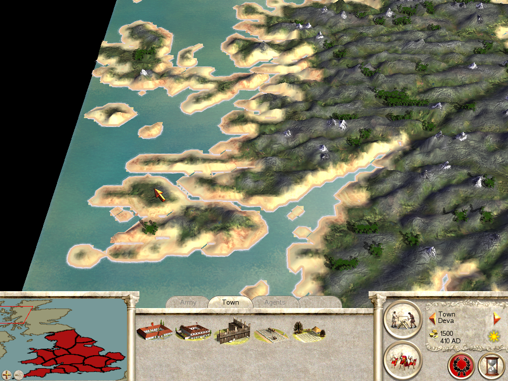
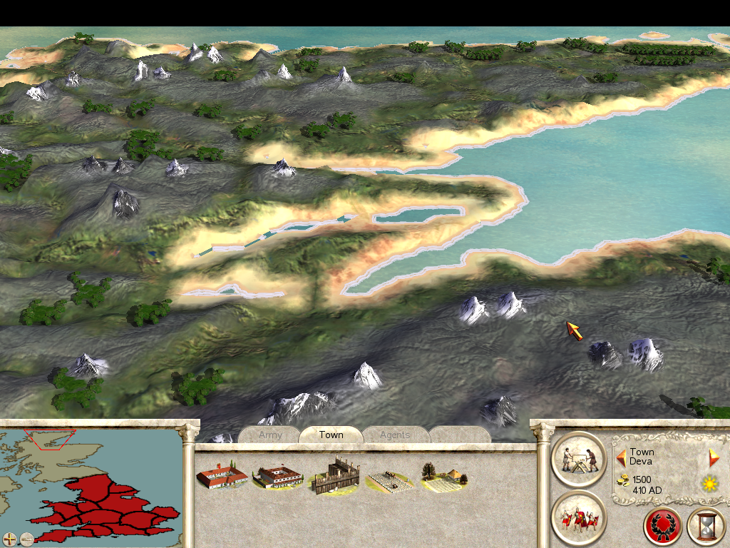
Here are some picks:
I also have a second question. Is there any way to make it so that there is one superfaction and one client faction. Such as tjust the Julii and the senate? I have tried maknig the Senate the Superfaction and the julii the client, but when it loads, the map CTD's. IF anyone knows how, please speak up
Also, is there any script line where you can display a historic even at the start of the campaign?
Thanks,
HiiMmyself
Last edited by HiiMmyself; September 15, 2008 at 06:40 PM.
From the mouth of the one and only Casca... (If you like the play Julius Caesar or just think Casca is awesome, add this to your sig.)
Superfactions: Just add the superfaction line and make sure the factions have the same culture.
Event: You don't need a script for that, just edit descr_events.txt and the relevant text files.
You can also have a faction die (put them in descr_strat, but give them no settlements, so they will die at campaign start) and you can change their 'death" text accordingly.
If I set the date of the event in the desr_events.txt to 0, it still appears in turn one. How can I make it strat as soon as the campaign begins?
Also, for the Superfaction, this will make the affect occur where the senate hands our missions and their is a popularity rateing system like in the original imperial campaign?
From the mouth of the one and only Casca... (If you like the play Julius Caesar or just think Casca is awesome, add this to your sig.)


 Reply With Quote